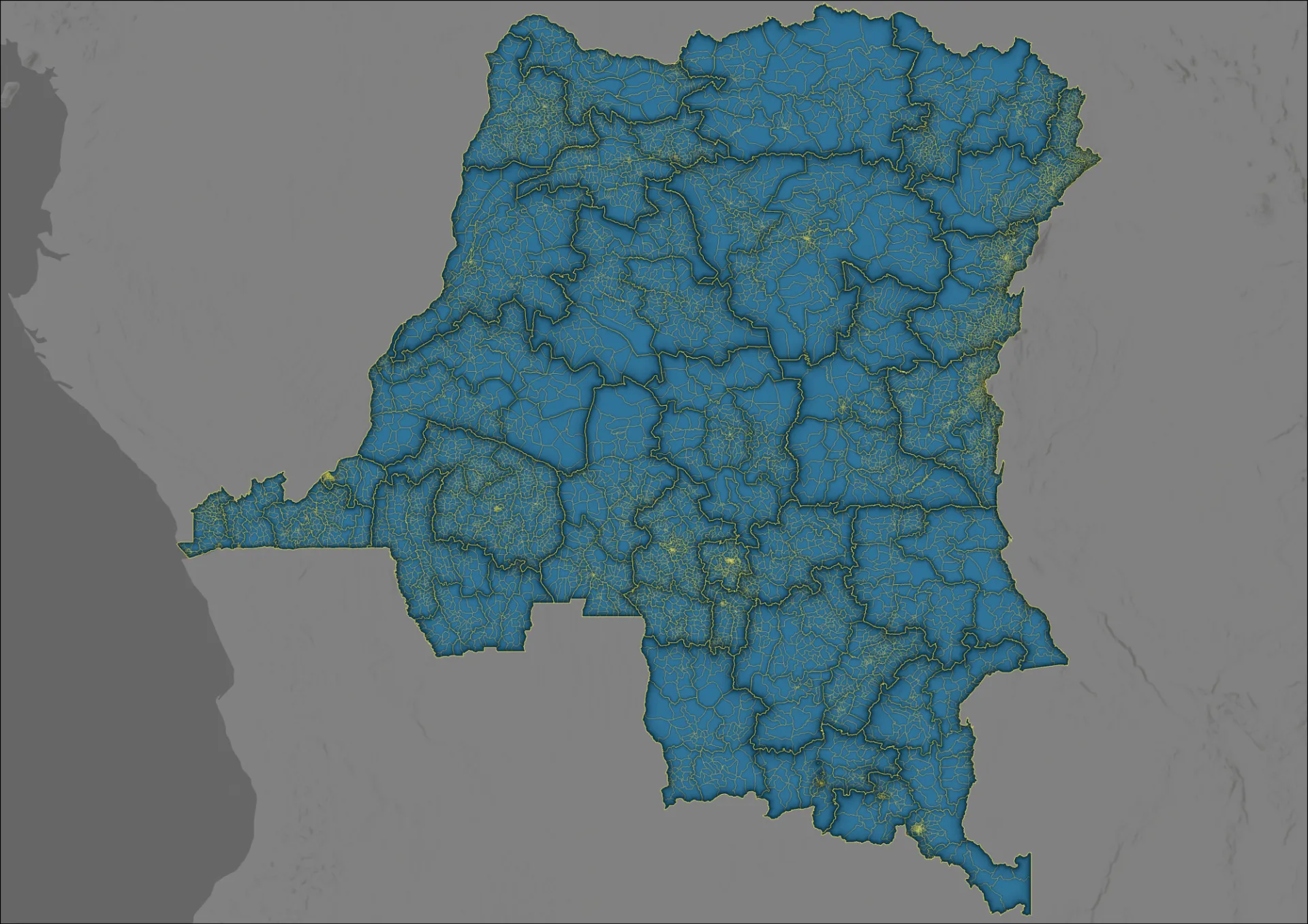
As part of its ongoing work with GRID3, CIESIN has released updated geospatial datasets that provide nationwide coverage and a more current picture of where communities and health facilities are located and how health services are geographically organized.
The four GRID3 COD Version 9.0 datasets — Settlement Names, Health Facilities, Health Areas and Health Zones — provide complementary information covering all 26 provinces of the Democratic Republic of the Congo (DRC), connecting named settlements and health facility locations with the health area and health zone boundaries used to organize and deliver health services. Together, these data support data-driven planning and service delivery across the country.
Version 9.0 includes updates to the settlement names, health areas and health zones datasets for Haut-Katanga, Haut-Lomami, Ituri, Kwango, Lomami, Maniema and Tanganyika, including updates to health area and health zone names. The health facilities dataset adds facility points and includes corrections to facility names. These updates provide more current geographic information while maintaining nationwide coverage. The datasets should be considered operational and are part of an ongoing data production process.
Together, the datasets strengthen the spatial data foundation for evidence-based decision-making and health service delivery in the DRC. They can support vaccination planning and outreach, help identify remote and underserved communities, and provide geographic context for understanding the relationship between communities and health services. Several of the updates incorporated information collected through efforts to identify remote and hard-to-reach communities that had been missed by routine immunization activities.