Mapping the hidden burden of urban deprivation beyond the world's megacities
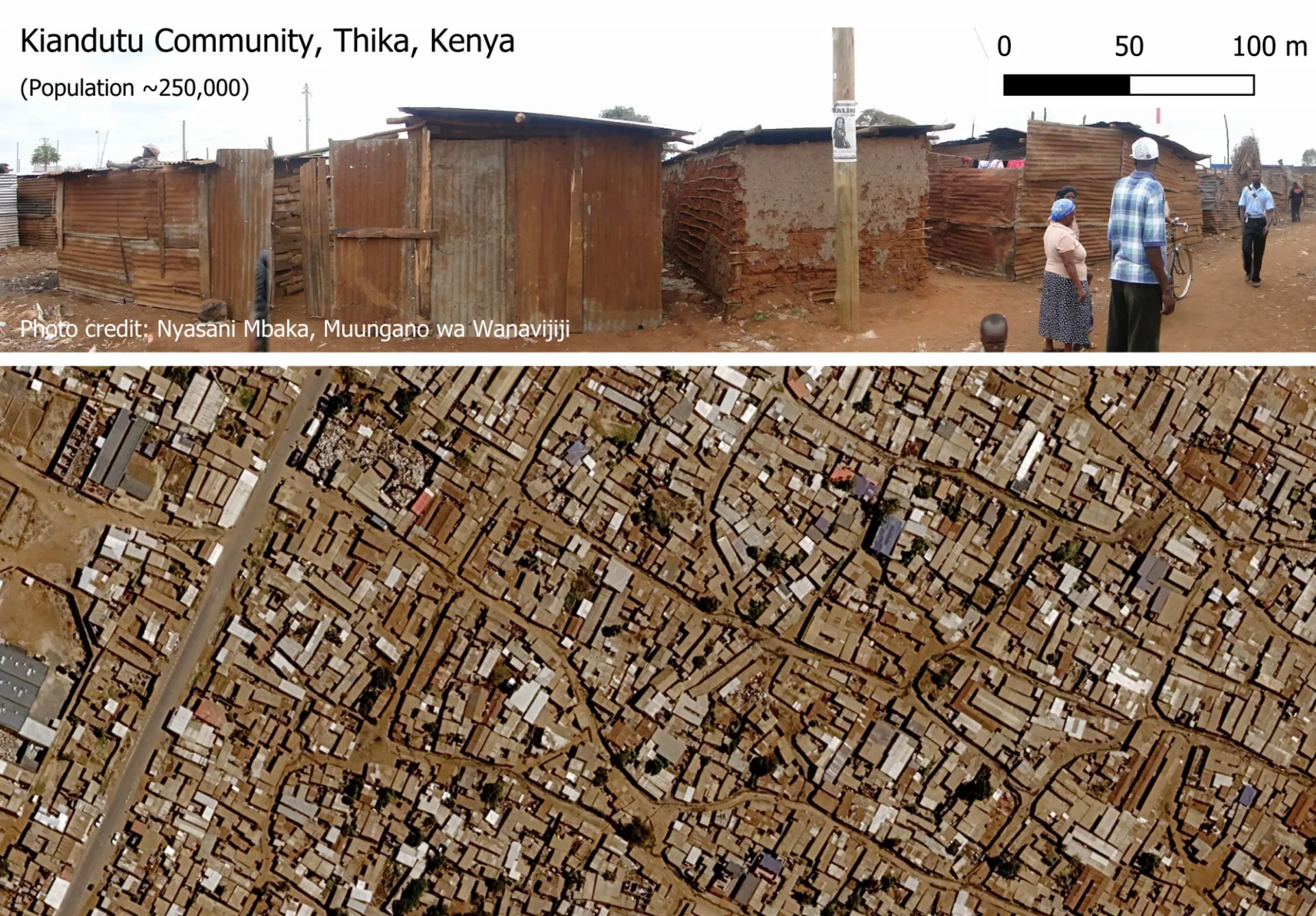
A new study in Nature Cities, co-led by CIESIN's Dr. Dana R. Thomson, finds that hundreds of millions of urban residents live in densely built, poorly connected neighborhoods, largely outside the megacities that dominate global attention.
The study builds on CIESIN's City Segments Layer v1 developed at CIESIN, which uses open geospatial data on roads, waterways, buildings, and population to divide cities into standardized, neighborhood-sized units across 5,132 urban centers in 103 mostly African, Asian, and Latin American countries. Lead author Sai Ganesh Veeravalli of Karlstad University and an international team applied machine-learning methods to identifying areas that are densely built, cramped, and poorly connected by roads. The model was trained and validated against field-referenced, citywide maps of morphologically deprived areas. Across the 103 countries studied, the researchers estimate that 395 million people—about one in five urban residents covered by the analysis—live in such neighborhoods.
A central finding is that deprivation is far from confined to the world's largest cities. More than one-third of affected residents, about 136 million people, live in small and medium-sized cities—places that are often less visible in global urban datasets and underrepresented in policy debates, even as many experience rapid population growth. Africa had the highest share of urban residents in morphologically deprived neighborhoods, at 43.6%, though substantial numbers were also identified across Asia and Latin America and the Caribbean.
The findings highlight an underrecognized challenge for achieving Sustainable Development Goal 11.1, which calls for access to adequate, safe, and affordable housing and basic services. Smaller cities may face particular difficulties, as their local governments often have more limited financial resources, data, and technical capacity for planning and infrastructure investment.
The researchers emphasize that the resulting City Segment Morphological Deprivation, or CSMD, model is not intended as a definitive "slum map." Instead, it offers a neighborhood-scale screening tool that can complement household surveys, official statistics, and locally produced maps by helping identify where morphological (physical) indicators of deprivation concentrate within and across cities. The deprivation measures developed through the study have now been incorporated into CIESIN's City Segments Layer v2, released openly through the Harvard Dataverse (Thomson-Browne & Blei, 2026). The full open-access article is available in Nature Cities: https://doi.org/10.1038/s44284-026-00498-w.