New Data Offers a Detailed View of Nigeria’s Settlements for Better Planning
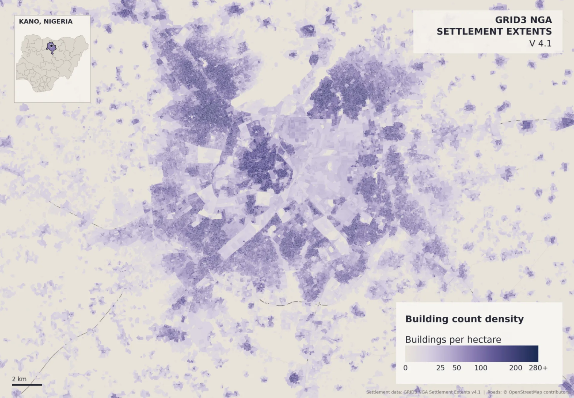
CIESIN in collaboration with GRID3 has released Nigeria Settlement Extents v4.1, an updated countrywide geospatial dataset offering a detailed view of where settlements are located and how they are distributed across Nigeria.
The dataset maps built-up areas and smaller settlements as geographic extents and divides them into settlement blocks using physical features, including roads, railways, rivers, and building footprints. It also provides block-level information on characteristics including building counts and areas, building heights, vegetation, and the physical form of settlements.
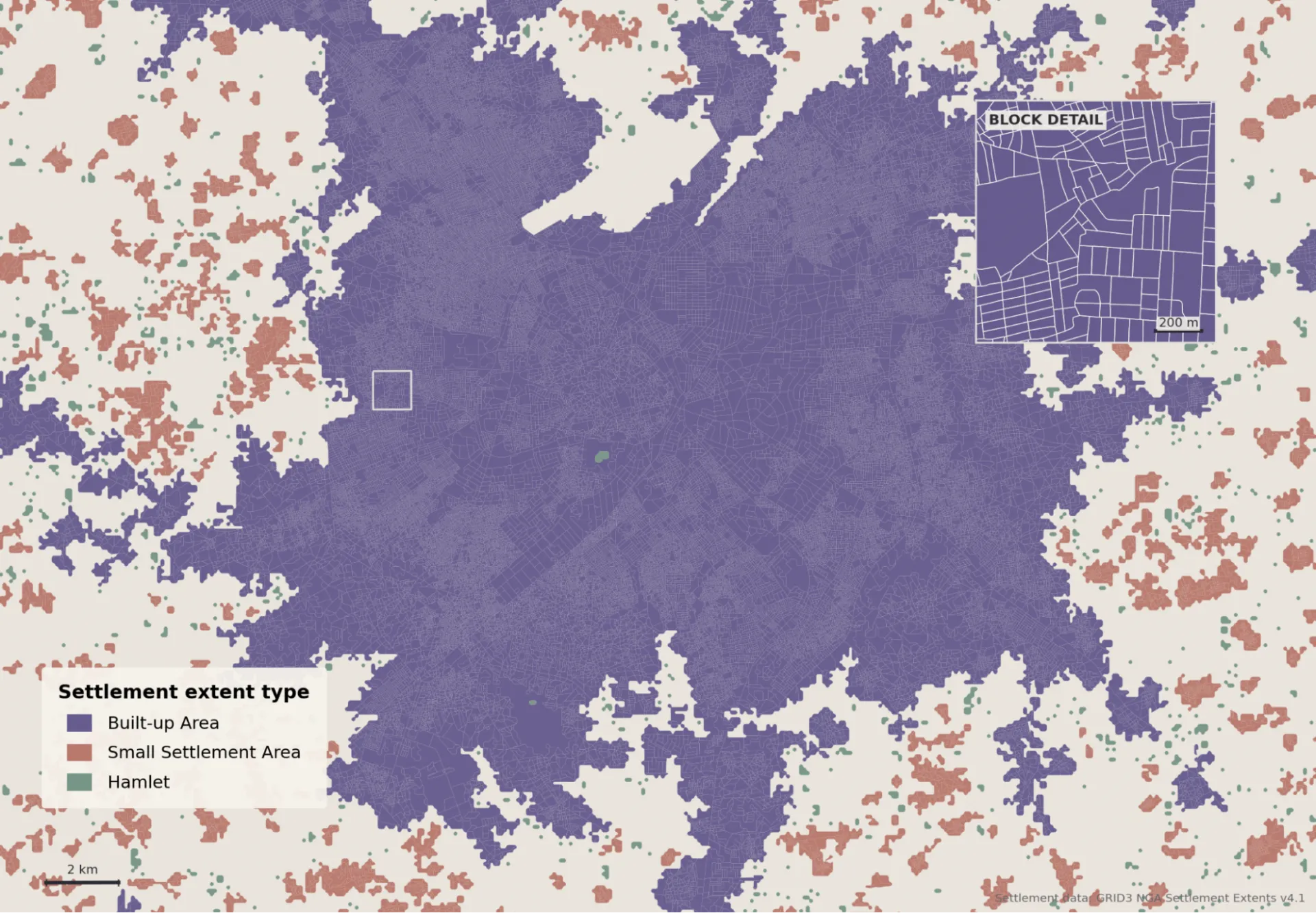
Version 4.1 builds on the settlement-block framework introduced in Version 4.0, incorporating further refinements and corrections to improve the consistency and reliability of the data.
By showing the size, shape, density, and organization of settled areas, the dataset can help governments, development organizations, researchers, and humanitarian actors identify communities, compare settlement patterns, plan infrastructure and public services, assess accessibility, and direct resources to places where they are most needed.
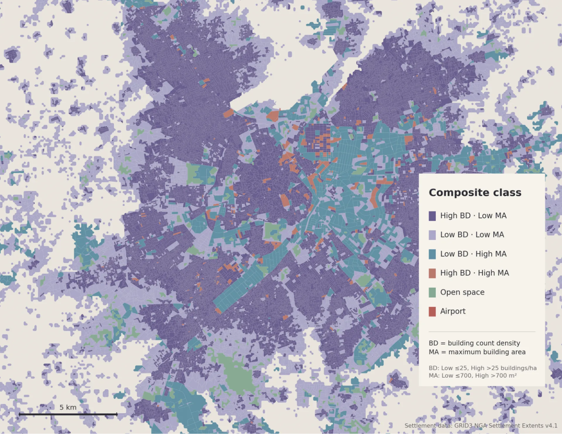
Explore and download the data.
Portions of this news blurb were edited with the assistance of AI tools to improve clarity and readability. All content was reviewed and validated by the authors.