CIESIN Associate Directors Dana R. Thomson and Greg Yetman represented CIESIN and the Columbia Climate School at the Human Planet Forum 2025, held 19–21 November at the European Commission’s Joint Research Centre (JRC) in Ispra, Italy. Convened under the GEO Human Planet Initiative, which is co-chaired by Greg Yetman of CIESIN and Michele Melchiorri of the JRC, the forum brought together scientists, UN agencies, national statistical offices, civil society partners, and private-sector actors to advance the use of open geospatial data for understanding human presence, exposure, and vulnerability. This year’s meeting emphasized aligning Human Planet datasets and analytical methods with global policy agendas, including the Sustainable Development Goals, the Paris Agreement, and the Sendai Framework for Disaster Risk Reduction.
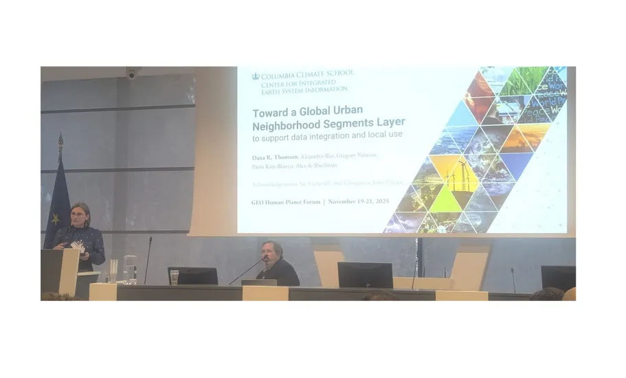
Thomson presented the recently released City Segments Layer v1 in the session on “Open Data Integration and Human Settlement Characterization,” chaired by Yetman. This dataset, which included classification of neighborhood-scale city segments by poverty status, was cited several times in other sessions on Earth Observation (EO) and data to map urban poverty and informality. Discussions in this session underscored the need for interoperable, decision-ready maps on poverty and featured case studies from UN-Habitat, IDB, and academic partners demonstrating how EO-driven insights can better reflect lived realities of informal and underserved neighborhoods.
A key outcome of the forum was a commitment among major global poverty and population mapping groups to collaborate on a shared set of data layers that better characterize settlements, including data on building characteristics, poverty measures, and population estimates. This collective effort aims to reduce user confusion, harmonize methods, and ensure that forthcoming products are presented coherently across high-profile venues such as the Atlas of the Human Planet 2026 and the World Urban Forum 2026. CIESIN is a coordinating and leading partner in major global data initiatives such as IDEAMAPS, POPGRID, and GRID3, which address persistent data gaps in low-resourced settings and support more informed development planning and policy.