Updated Geospatial Data Released to Support Ebola Response in Ituri Province, DRC
An effective Ebola response depends on a clear and current understanding of the affected geography. Up-to-date geospatial data help responders coordinate operations, prioritize resources, and make decisions based on the latest available information. To support emergency efforts in Ituri Province, DRC, CIESIN in collaboration with GRID3 has released updated geospatial data that help responders identify health facilities, locate settlements, and understand operational health boundaries that shape response planning.
This release provides expanded spatial coverage and improved accuracy for health zone and health area boundaries, settlement names, and health facility locations in Ituri Province, superseding the previous version of these layers, v8.0. It reflects substantial conflation and harmonization of data from more than 30 partner organizations, including WHO, UNICEF, MSF, OCHA, and local provincial health teams, as well as the integration of new inputs from the Programme National de Lutte Contre Le Paludisme (PNLP).
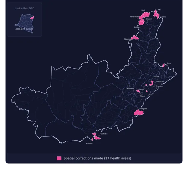
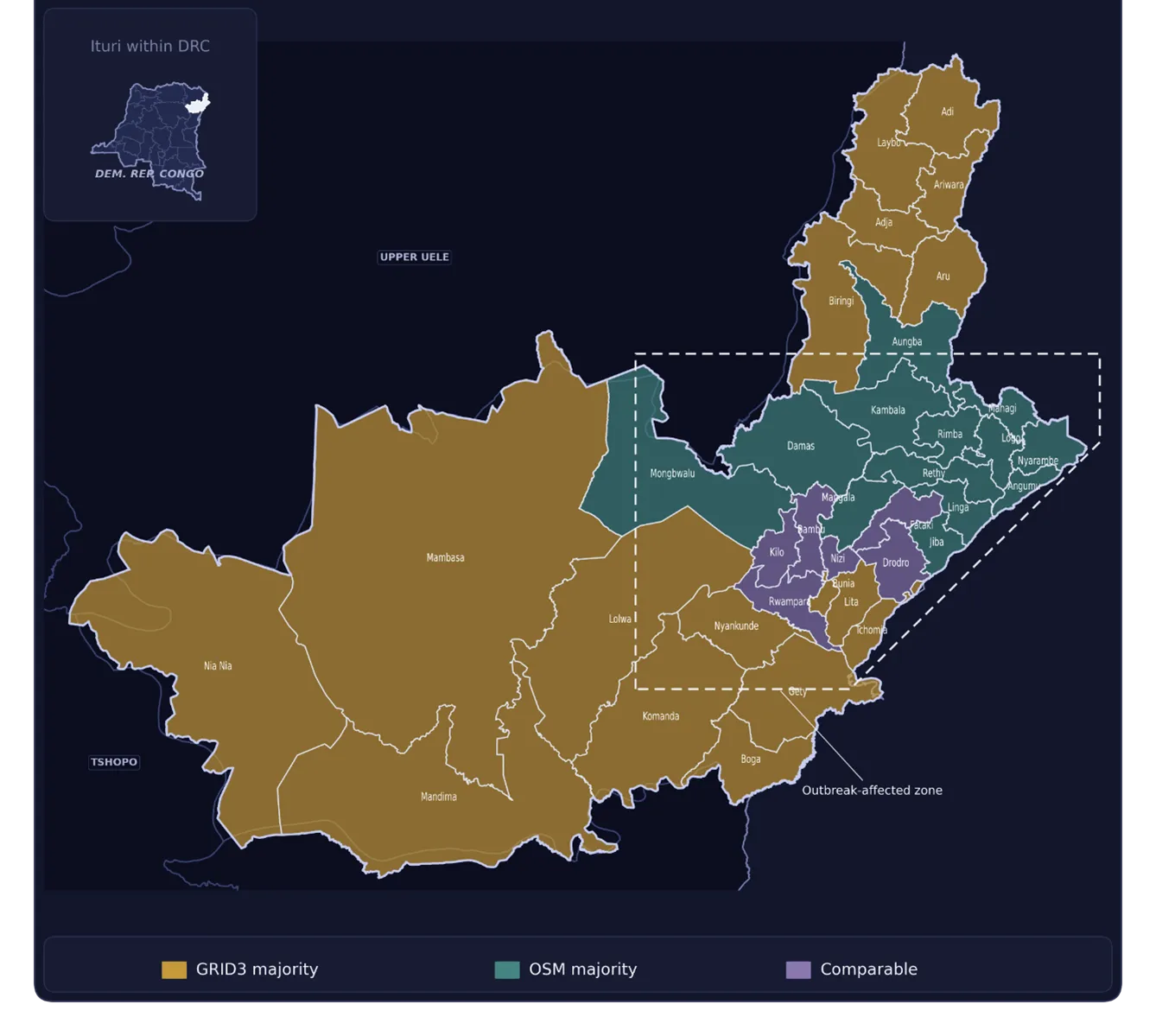
The updated data layers improve spatial coverage in areas where previous sources were incomplete or missing. For instance, this release identifies nearly 1,200 new settlement points not included in OSM within Ituri’s active Ebola outbreak zone, and name and/or geometric corrections in 17 health areas.
This data release may contain unintended omissions. It was developed under a compressed timeline to enable timely information sharing and to support teams engaged in emergency response efforts. Users should interpret the data with this context in mind, and are encouraged to report errors, omissions, or suggested refinements.
The data are freely available under a Creative Commons Attribution 4.0 license.
Download the data:
GRID3 Data Hub
Humanitarian Data Exchange
Users should expect regular updates as new data and refinements become available.