New Settlement Block Data Released for the Democratic Republic of the Congo
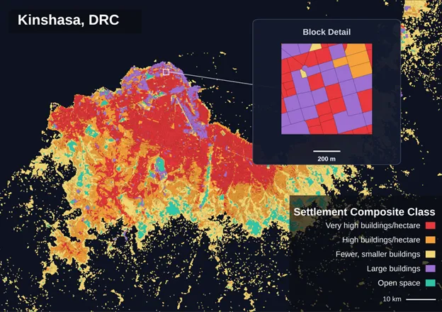
CIESIN, in collaboration with GRID3, has released GRID3 COD – Settlement Extents v4.0, a new geospatial dataset that provides a more detailed view of settlements across the Democratic Republic of the Congo.
One of the biggest updates is the introduction of settlement blocks within urban and small settlement areas. Instead of looking only at settlement boundaries, users can now explore how neighborhoods are organized internally, making it easier to study settlement patterns and support activities such as health planning, population estimation, and service delivery.
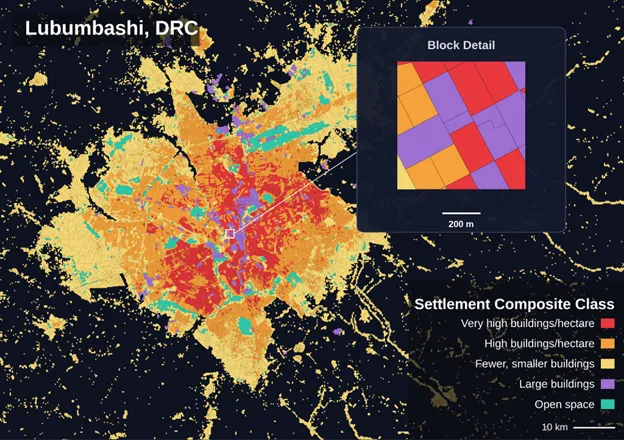
The new dataset also includes information on building density, building heights, vegetation, and other characteristics for each settlement block. These data are drawn from a range of openly available sources, including satellite imagery, transportation networks, and building footprint datasets.
Version 4.0 also includes several data quality improvements, including an updated schema and the removal of inaccurate settlements and unsupported features, resulting in a cleaner and more reliable dataset.
The dataset is available in OGC GeoPackage format under a CC BY-SA 4.0 license.
Download data here.