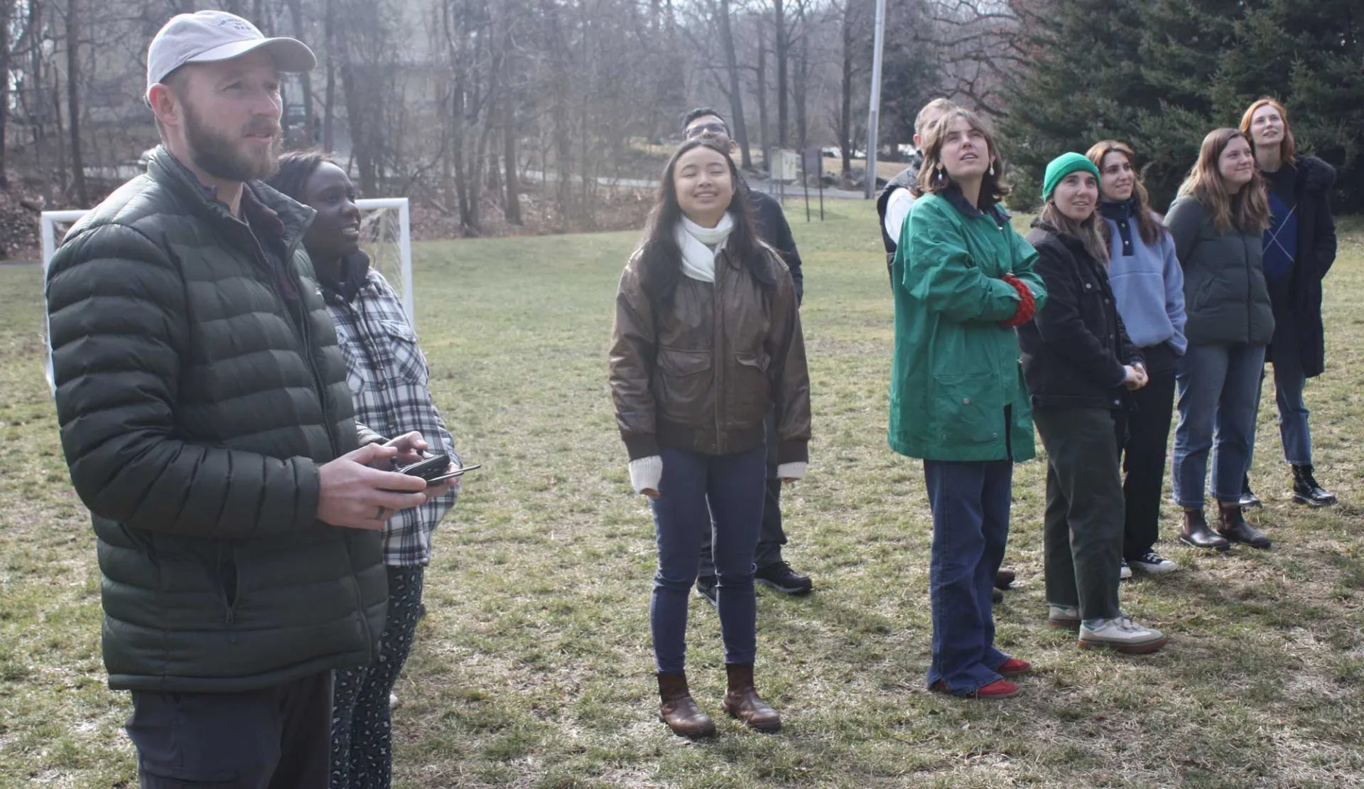
Kytt McManus demonstrates the use of a drone with Light Detection and Ranging (LiDAR) capabilities. LiDAR is used for a wide range of land management and planning efforts, including hazard assessment (including lava flows, landslides, tsunamis, and floods), forestry, agriculture, geologic mapping, and watershed and river surveys.